Cyclone Arnab intensifies over Bay of Bengal as separate weather system lingers near Tamil Nadu
Cyclone Arnab is intensifying over the Bay of Bengal as a separate weather system continues to linger near Tamil Nadu’s latitude, prompting weather watchers to closely monitor the unusual development of two systems in the region.
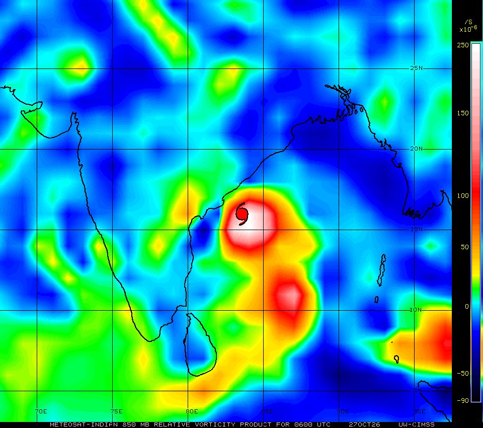
The India Meteorological Department (IMD) has confirmed that Cyclone Arnab has intensified over the west-central Bay of Bengal and is forecast to move towards the Andhra Pradesh coast. The storm is expected to cross the Andhra Pradesh–Yanam coast between Bapatla and Visakhapatnam by the forenoon of October 28 as a very severe cyclonic storm, with sustained wind speeds of 115–125 kmph and gusts reaching 140 kmph.
According to a weather analysis circulating online, the earlier low-pressure system associated with widespread rainfall over Tamil Nadu has not fully dissipated and remains separate from Arnab.
The post claims that the American weather-tracking system ATCF has designated the lingering disturbance as Invest 90B, following an earlier designation of 99A. It reportedly remains east of the Tamil Nadu coast and is not currently positioned to bring significant rainfall to the coast on its own.
The analysis has drawn attention to the possibility of interaction between the two systems. However, the suggestion that their merging could have made Arnab significantly more powerful remains speculative; there is no confirmation in the cited official bulletins that the systems are likely to combine.
The immediate concern remains Arnab’s strengthening and projected approach towards the Andhra Pradesh coast. Authorities have activated preparedness measures, including evacuation arrangements, shelters and emergency response teams, as the state braces for strong winds and heavy rainfall.
Weather conditions and the forecast track can change as the cyclone approaches land. Residents in coastal districts are advised to follow the latest IMD bulletins and instructions issued by local authorities rather than relying solely on circulating satellite images or independent weather interpretations.
More from Andhra Pradesh

Shree Cement unveils ₹7,000 crore investment plans for three cement plants in Andhra Pradesh

AP plans ₹25,000 crore space manufacturing ecosystem, secures major investments in rocket technology

Manchu Manoj named Andhra Yuva Sankalp 2K26 Ambassador; initiative reaches all 28 AP districts
More from Environment

NHAI begins survey for 43-km elevated corridor to Srisailam; night travel could become possible

Cyberabad Police plan one-way traffic loop to ease congestion in Hyderabad’s IT corridor near IKEA junction