Preliminary cyclone scenario raises rainfall concerns for Andhra Pradesh, Odisha and Telangana
A preliminary weather scenario circulating on social media has raised the possibility of a developing low-pressure system over the Bay of Bengal intensifying into a cyclonic storm and potentially bringing heavy rainfall to parts of Andhra Pradesh, Odisha and Telangana between October 27 and 29.
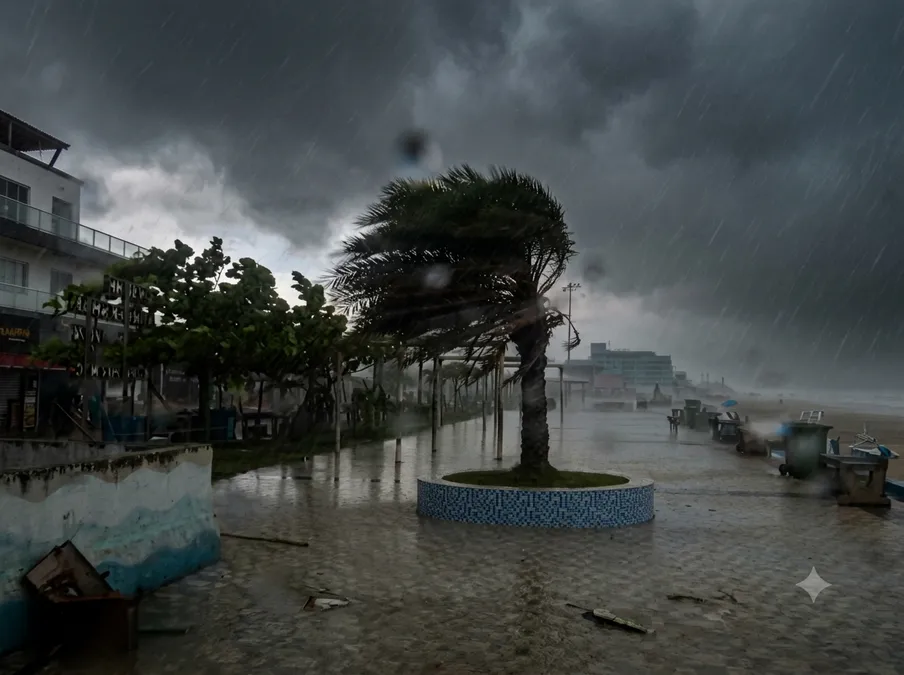
The forecast scenario suggests that the system could intensify over the coming days and change direction towards the west. However, the projected track, intensity and potential landfall location remain uncertain..
The India Meteorological Department (IMD) has confirmed that a low-pressure area formed over the east-central and adjoining southeast Bay of Bengal on October 23. It is forecast to intensify into a depression on October 24, a deep depression on October 25 and a cyclonic storm over the west-central Bay of Bengal by the morning of October 26. The system is then expected to move towards the north Andhra Pradesh and adjoining south Odisha coasts.
The developing system could bring heavy to extremely heavy rainfall to parts of coastal Andhra Pradesh and Odisha between October 27 and 29. Authorities are monitoring the situation as forecasts are updated.
The specific suggestion that the system could make landfall near Bapatla–Machilipatnam in the early hours of October 28, or strengthen into a Very Severe Cyclonic Storm, should be treated as an unconfirmed scenario rather than an established IMD forecast.
Residents in coastal districts and other potentially affected areas should follow the latest [official IMD forecasts and warnings](https://mausam.imd.gov.in/?utm_source=chatgpt.com) and instructions from local authorities.
More from Beyond Dakshin

Sai Pallavi cuts her hair for ‘OM’, takes inspiration from IPS officer Merin Joseph; mother reacts in shock

Mahesh Babu–Rajamouli’s ‘Varanasi’ eyes record ₹290 crore Telugu States deal, set to surpass ‘RRR’

Allu Arjun lines up mythological pan-India spectacle with Boyapati Sreenu after ‘Raaka’!
More from Environment

NHAI begins survey for 43-km elevated corridor to Srisailam; night travel could become possible

Cyberabad Police plan one-way traffic loop to ease congestion in Hyderabad’s IT corridor near IKEA junction