Why South India is missing out on the Monsoon Rains ?
While large parts of North, Central and Eastern India have been receiving normal to above-normal rainfall, weather patterns over the Bay of Bengal are emerging as a concern for parts of South India, particularly Telangana, Andhra Pradesh and Karnataka.
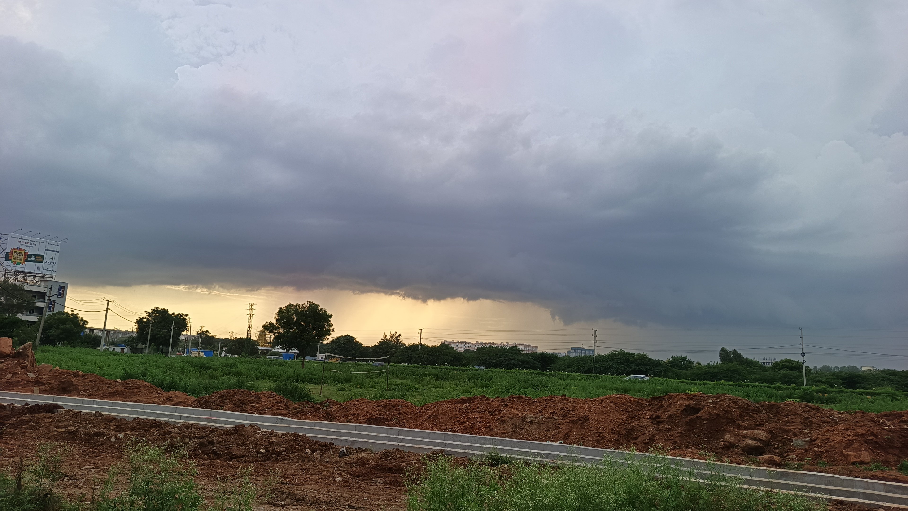
Weather observers say the repeated development of Low-Pressure Areas (LPAs) near the West Bengal–Odisha coast has influenced the distribution of monsoon rainfall. These systems have largely followed a similar westward or northwestern track, directing significant moisture towards northern and central parts of the country while leaving several southern regions with comparatively limited rainfall.
Another factor affecting rainfall over the southern states is the presence of strong steering winds. Winds in the range of 30–45 kmph can rapidly displace rain-bearing clouds. As a result, even when intense convection develops over parts of South India, cloud systems may move away before they can produce prolonged or widespread heavy rainfall.
The pattern has persisted through much of the current monsoon phase, with the exception of a depression that developed towards the end of July.
The coming fortnight could bring little relief, according to the weather outlook cited by observers. Two to three additional low-pressure systems are potentially expected to develop over the Bay of Bengal, with several weather models indicating tracks broadly similar to those of the systems seen recently.
For Telangana, Andhra Pradesh and Karnataka, the evolving pattern could therefore remain a key factor in determining rainfall distribution over the next two weeks.
The situation highlights how the track and movement of monsoon systems, rather than El Niño alone, can significantly influence rainfall across different parts of India.
More from Telangana

More from Environment

NHAI begins survey for 43-km elevated corridor to Srisailam; night travel could become possible
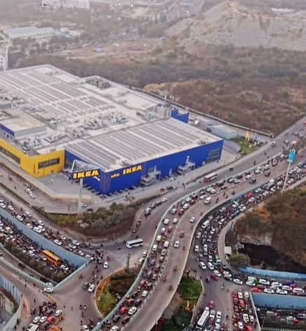
Cyberabad Police plan one-way traffic loop to ease congestion in Hyderabad’s IT corridor near IKEA junction